
Finding the perfect off grid camping spot can make or break your big lap experience. Whether you’re chasing secluded beaches, mountain hideaways, or bush camping beside pristine rivers, the right apps and maps will unlock thousands of free camping opportunities most travellers never discover.
Gone are the days of relying solely on word of mouth or outdated guidebooks. Today’s digital tools combine crowd sourced reviews, GPS coordinates, and real time updates to help you find everything from basic overnight stops to spectacular week long destinations. The key is knowing which apps excel at what, and how to use them together for maximum coverage.
This guide covers the essential apps every big lapper needs, from comprehensive databases like WikiCamps to specialised tools for specific camping styles. We’ll break down the strengths and limitations of each platform, plus share the physical maps that still earn their place in your navigation toolkit.
Comprehensive Camping Apps
These are your primary tools for finding camping spots across Australia. Each maintains extensive databases of free camps, caravan parks, and everything in between, but they approach the task differently.
$6.99
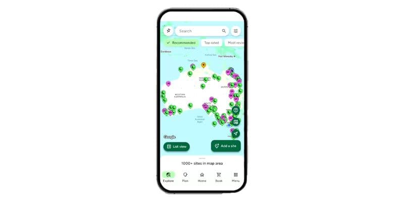
WikiCamps dominates the Australian camping scene for good reason. Its crowd sourced database covers everything from remote bush camps to major caravan parks, with detailed filters for access requirements, facilities, and camping restrictions. The real strength lies in its user generated content: recent photos showing current site conditions, detailed reviews mentioning everything from mobile coverage to nearby attractions, and GPS coordinates accurate to within metres.
The app’s offline functionality makes it indispensable for remote travel. Download state data before heading into areas with poor mobile coverage, and you’ll still have access to the complete database plus satellite imagery. User reviews update in real time when you’re connected, keeping you informed about recent closures, new restrictions, or changes in access conditions.
Use WikiCamps’ “Recently Visited” filter to see which spots other travellers have updated in the past month. This helps identify currently accessible locations and avoid recently closed sites.
Free
CamperMate serves as an excellent free alternative, particularly for budget conscious travellers or those just starting their big lap. While it lacks WikiCamps’ depth of user generated content, it covers the basics well: location coordinates, basic facility information, and integration with points of interest like fuel stops and tourist attractions.
The app’s strength lies in its broader travel focus. Beyond camping spots, it includes information about dump points, water refill stations, and tourist attractions, making it a useful all in one travel companion. However, the trade off is less detailed camping specific information and fewer user reviews compared to WikiCamps.
Free to browse
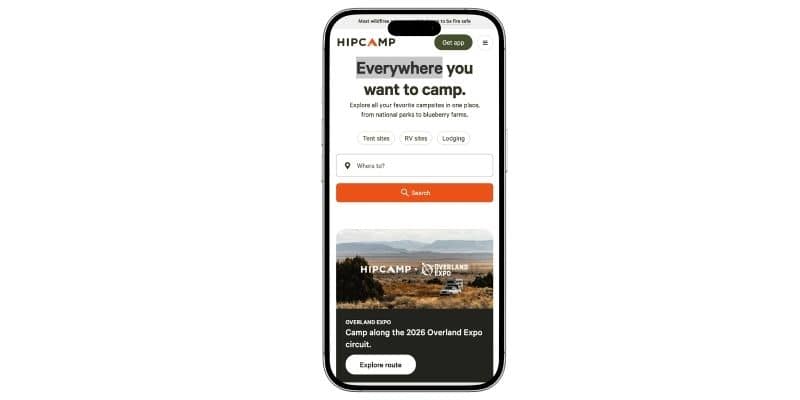
Hipcamp fills a gap that free camping apps can’t. It connects travellers with private landowners who open their properties for camping, giving you access to spectacular locations that never appear in standard databases. Expect to pay a nightly fee, but the trade off is exclusivity and experiences that genuinely can’t be replicated at a caravan park.
For big lappers who want variety in their itinerary, Hipcamp is worth keeping on your phone alongside WikiCamps. It’s particularly strong in the southern states and agricultural regions where private land dominates the landscape.


Specialised Camping Tools
While comprehensive apps cover the basics, specialised tools excel in specific camping scenarios or provide unique features that enhance your camping experience.
Free
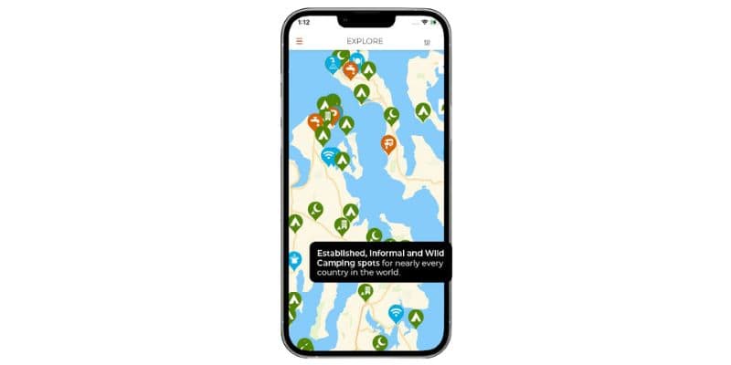
Originally designed for international overlanding, iOverlander offers a unique perspective on Australian camping. The platform attracts adventurous travellers who share detailed information about remote access routes, water sources, and camping conditions in areas that mainstream apps might miss.
The real value comes from its detailed service information: mechanic recommendations in remote towns, reliable fuel stops, and water refill points that aren’t always obvious. User contributions tend to focus on practical details that matter for self sufficient travel, making it an excellent complement to mainstream camping apps.
Free
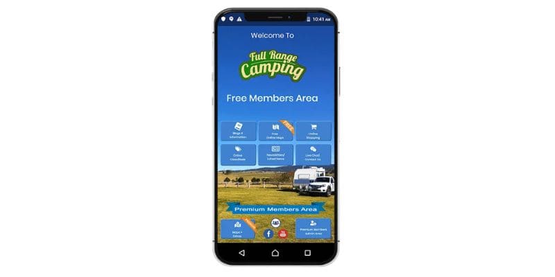
Full Range Camping is a useful supplementary tool for finding free camps, particularly if you want a web based directory you can browse on a laptop during planning sessions. Its filtering lets you narrow down by state and facility type without needing to open yet another app on your phone.
It won’t replace WikiCamps as your primary tool, but it’s worth bookmarking for pre trip research and for cross referencing spots before you commit to a route.
Navigation and Offline Maps
Reliable navigation becomes critical when heading to remote camping spots. These apps provide detailed mapping and routing capabilities that work even when mobile coverage disappears.
$59.99/year
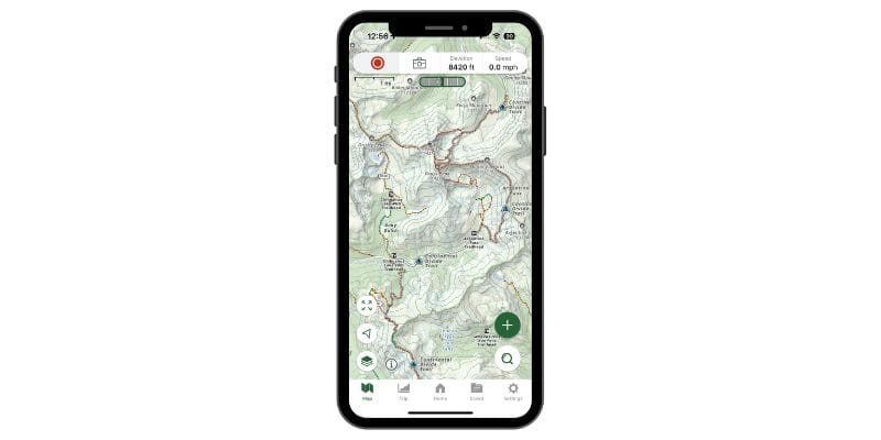
Gaia GPS represents the gold standard for offline navigation in remote areas. Its multiple map layers include topographic data, satellite imagery, and specialised overlays for different terrain types. The ability to download entire regions for offline use makes it indispensable when exploring areas beyond mobile coverage.
Track recording and waypoint management turn Gaia into a comprehensive exploration tool. Record your route to share with other travellers, mark interesting spots for future visits, and create custom maps highlighting your favourite camping locations. The learning curve is steeper than consumer apps, but the functionality rewards serious remote travellers.

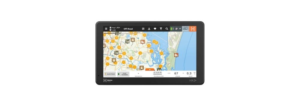
For travellers preferring dedicated hardware over smartphone apps, the Hema HX-2 GPS Navigator $849 offers Australia specific features like caravan friendly routing, points of interest relevant to travellers, and hardware designed to withstand harsh conditions.
Always carry at least two navigation methods when heading to remote camping spots: a primary smartphone app plus either a backup phone app or dedicated GPS device.
Physical Maps and Books
Despite the digital revolution, physical maps and guidebooks still offer unique advantages for big lap planning and remote area navigation. They provide broad regional context, work without batteries, and often include local knowledge that digital platforms miss.
$49.95
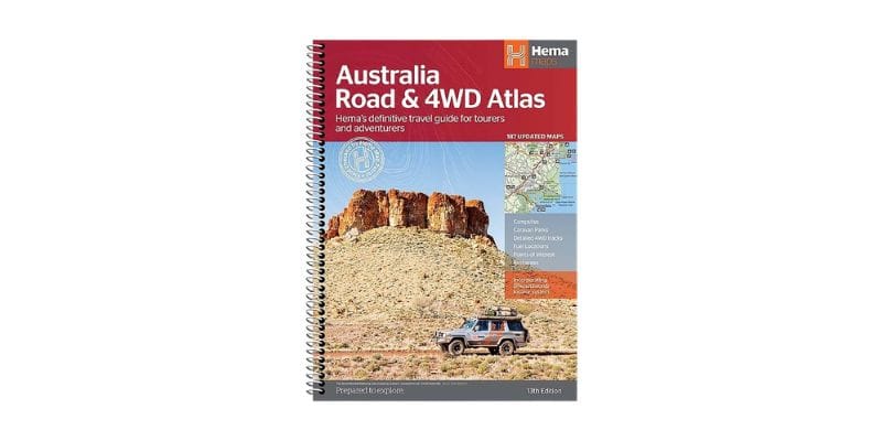
The Hema Australia Atlas remains the definitive physical reference for big lap planning. Its caravan friendly route markings help identify suitable roads for larger rigs, while camping symbols provide a quick overview of accommodation options across each region. The atlas excels at showing the big picture: how different regions connect, alternative route options, and the relative distances between major destinations.
Regional detail maps within the atlas zoom in on popular travel areas, showing unsealed roads, national parks, and points of interest that might not be obvious on digital maps. For route planning sessions and big picture trip discussions, nothing beats spreading out a large format map and marking potential routes with a pen.
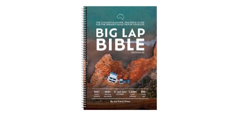
Available in our shop
Weather and Road Condition Apps
Successful off grid camping depends heavily on current conditions. Weather can make or break a camping experience, while road conditions determine whether you can actually reach your destination safely.
Free
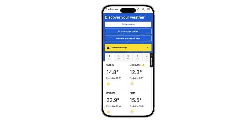
The official Bureau of Meteorology app provides authoritative Australian weather information crucial for camping decisions. Beyond basic forecasts, it includes fire danger ratings, marine weather for coastal camping, and detailed warnings for severe weather events that could affect remote travel.
Radar imagery helps track approaching weather systems, particularly important when camping in exposed locations or areas prone to flash flooding. The app’s warning system provides early alerts for conditions that might necessitate changing camping plans or moving to safer locations.
Free
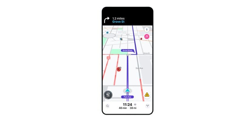
Waze earns its place on the phone for highway driving and town navigation. Its community reports flag speed cameras, accidents, and road hazards in real time, which is genuinely useful when driving through unfamiliar areas. It’s not a replacement for offline navigation tools in remote areas, but it complements them well on sealed roads.


State road authority apps and the Live Traffic website provide critical information about current road conditions, closures, and construction delays that could affect access to remote camping areas. These become particularly important when travelling during wet seasons or in areas prone to flood related closures.
Always check fire danger ratings and current fire restrictions before camping in bushland areas. Many camping spots close during high fire danger periods or total fire ban days.
Community and Social Platforms
The best camping intel often comes from fellow travellers sharing recent experiences and recommendations. These platforms connect you with the broader big lap community for real time advice and spot suggestions.
Free
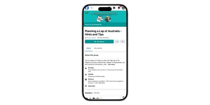
Facebook groups dedicated to Australian travel provide invaluable real time information about current camping conditions, recent discoveries, and travel warnings. Active groups like “Travelling Australia,” “Free Camping Australia,” and “Big Lap Australia” feature thousands of experienced travellers sharing daily updates about road conditions, camping spot availability, and local recommendations.
The community aspect extends beyond just finding spots. Members share practical advice about everything from the best routes for big rigs to local suppliers for caravan parts and services. However, information quality varies, and it’s important to cross reference advice with official sources, particularly for safety critical information.
Free
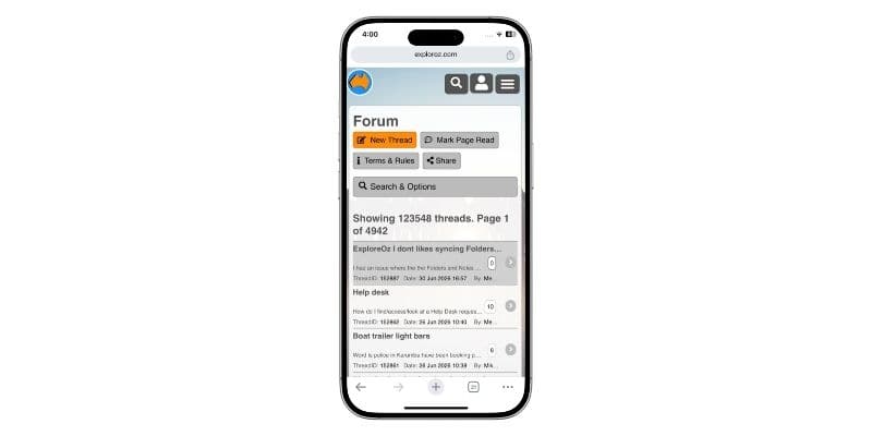
ExplorOz offers a more structured community platform with detailed trip reports and technical discussions about remote area access. Members contribute comprehensive information about track conditions, required equipment, and seasonal accessibility for challenging camping destinations.
The platform’s strength lies in its detailed, searchable format. Unlike social media’s ephemeral posts, ExplorOz trip reports and track notes remain accessible long term, building a comprehensive knowledge base about remote camping destinations across Australia.
- WikiCamps Australia remains the essential foundation app for finding camping spots across the continent
- Combine multiple tools: use comprehensive apps for discovery, specialised tools for specific needs, and navigation apps for getting there safely
- Don’t rely solely on digital tools. Physical maps provide valuable context for route planning and backup navigation
- Weather and road condition apps are crucial for safe remote camping, especially during wet seasons or fire danger periods
- Community platforms offer real time updates and local knowledge that supplement official app databases
- Download offline data before heading to remote areas. Mobile coverage can’t be guaranteed in Australia’s best camping spots
Comment (0)